


Summer Mt. Chausu Highland
Date: Jul 18,2026(Sat) ~ Aug 30(Sun)
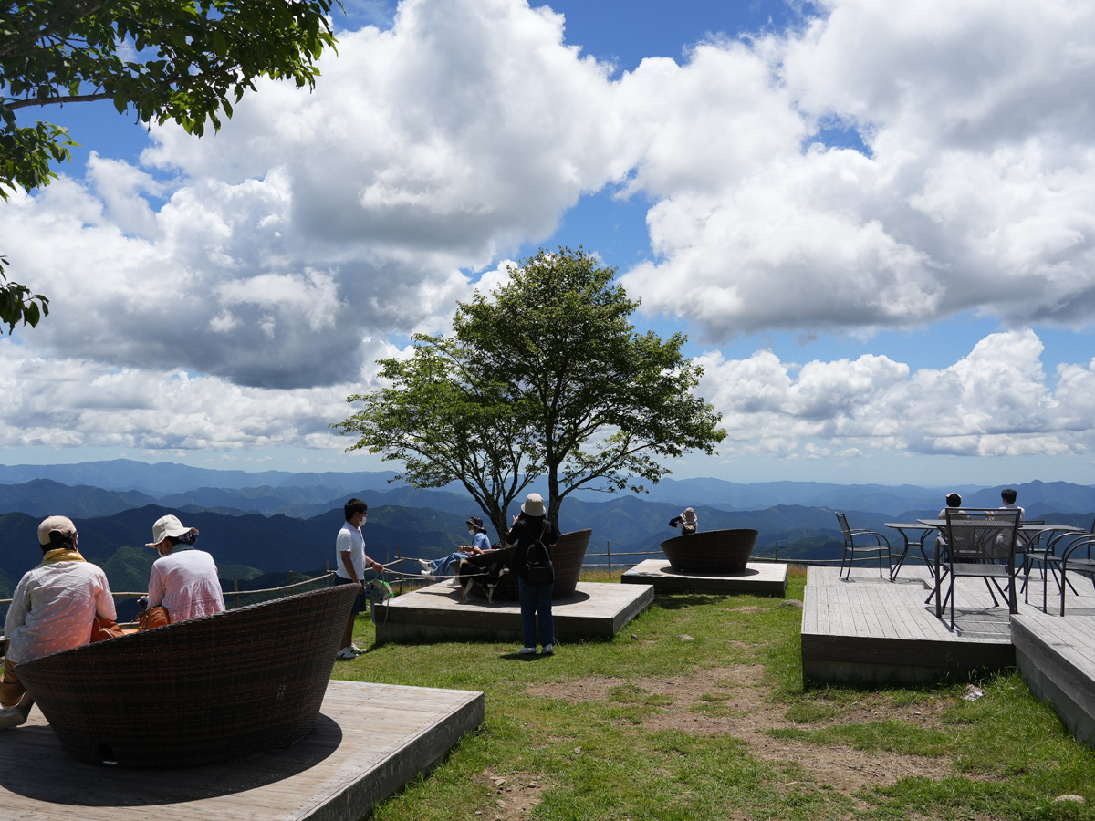


An oh-so cool spot to spend your time during summer break!
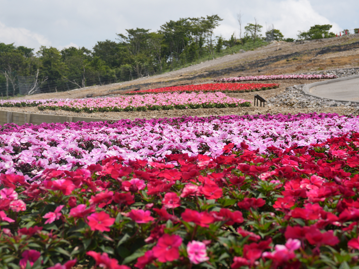
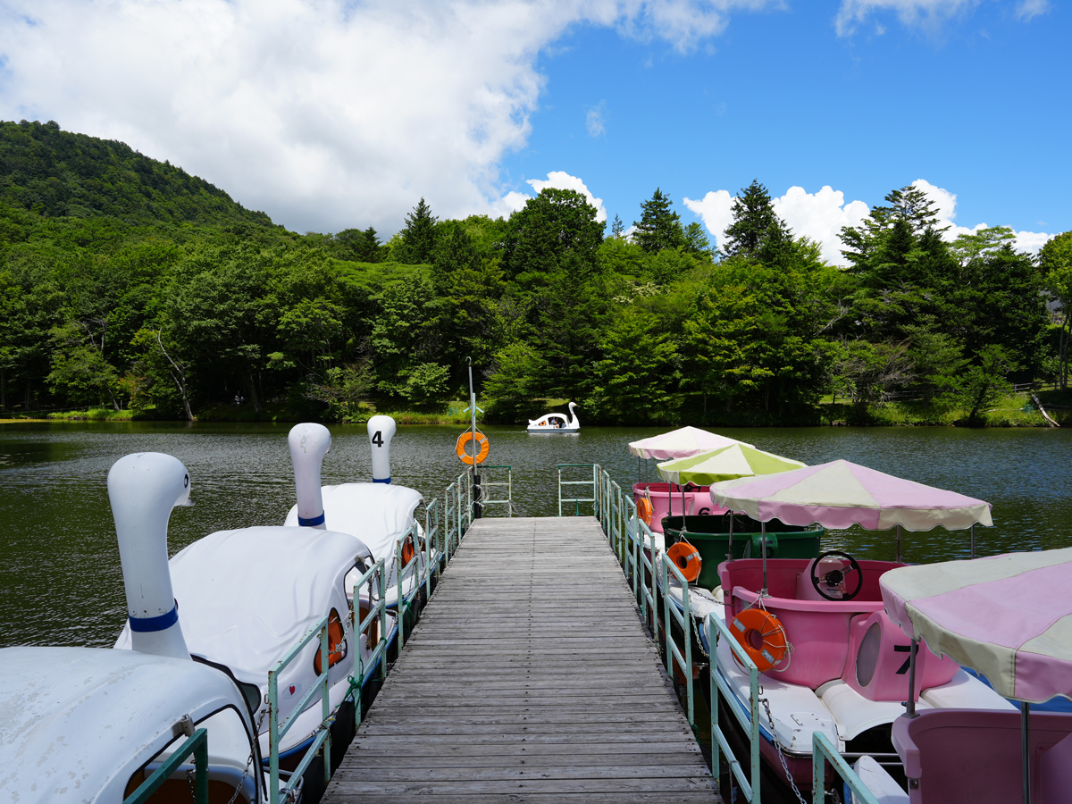
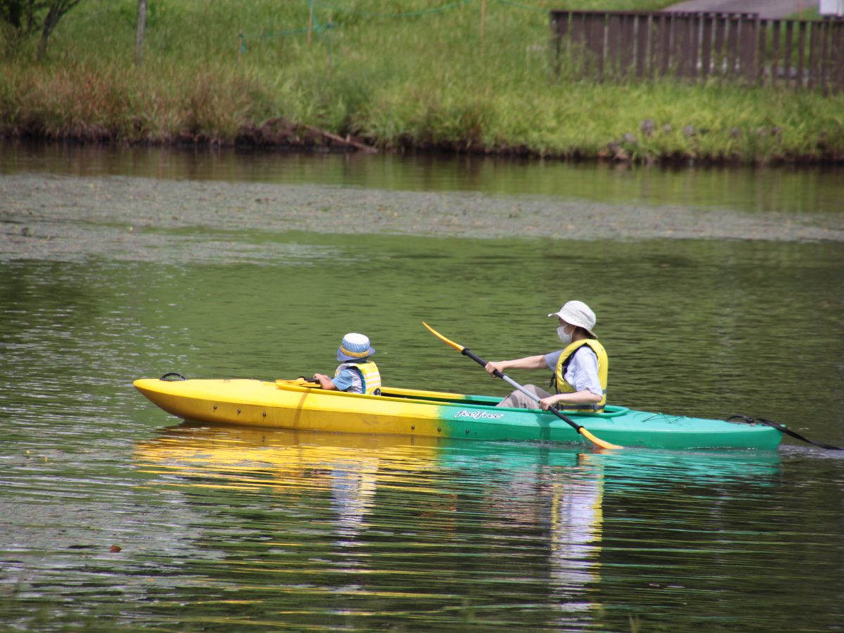
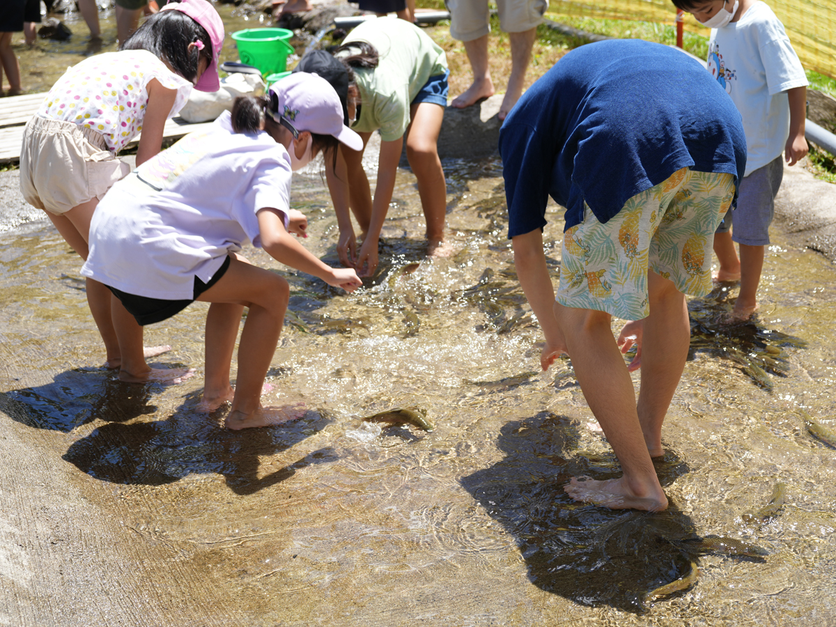
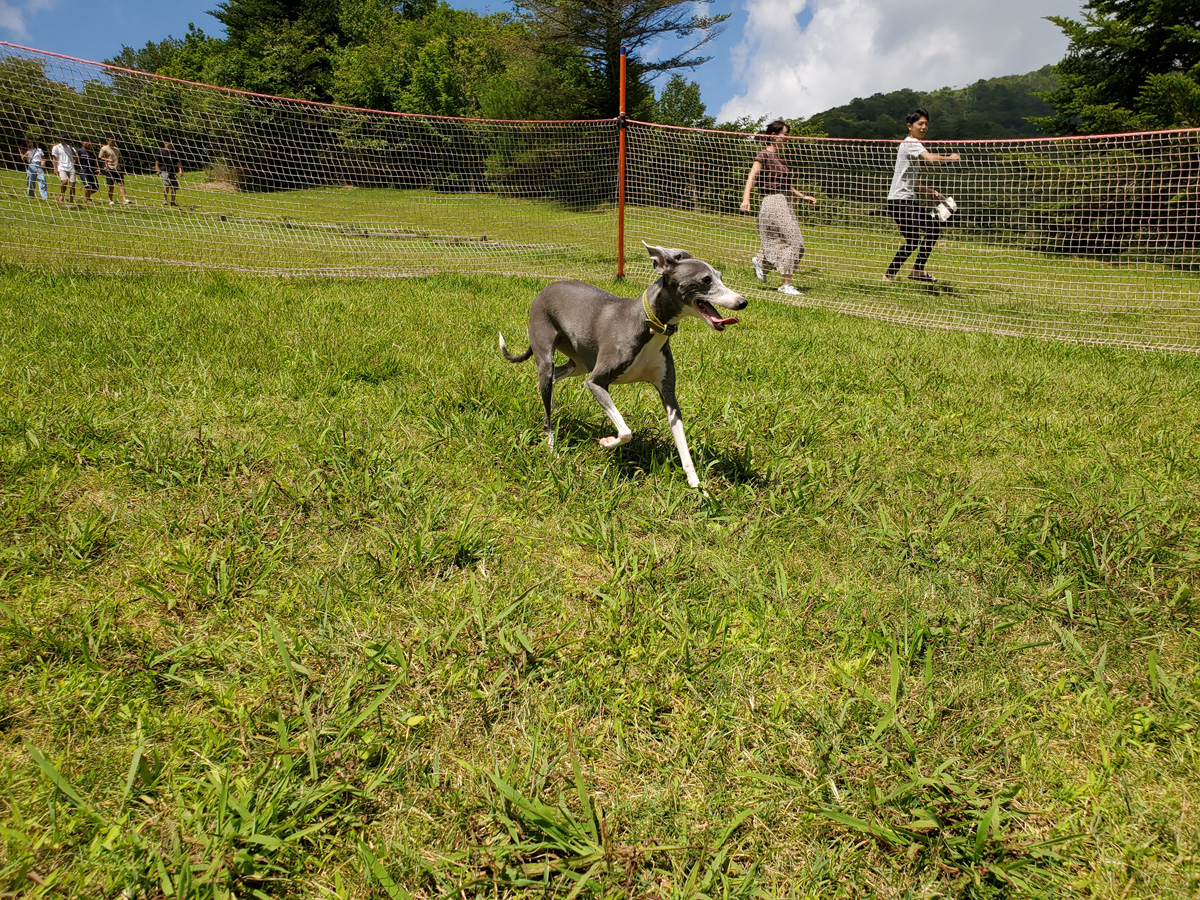
Mt. Chausu Highland is naturally cool due to its elevation at an incredible 1,415 meters, maintaining an average temperature of around 23°C in summer. Canoe as you gaze upon the highland's lush nature and grab up fish; or for kids, there are plenty of events offering the chance to connect with nature.
The Mountain Day Fest too takes place in mid-August. Mountainboards and balance bikes too are available, just waiting for you to spend all your cooped up energy amid a vast, beautiful mountainous landscape.


EVENT OVERVIEW


| Date | Sat, Jul 19–Sun, Aug 31, 2025 |
|---|---|
| Place | Mt. Chausu Highland |
| Location | 〒449-0405 70-185, Goshodaira, Sakauba, Toyone-mura, Kita-Shitara-gun, Aichi |
| Fee | Differs by event |
| Parking | Available, free of charge (1,000 spaces) |
| Restrooms | Available |
| Phone number | 0536-87-2345 (Mt. Chausu Highland Association) |
Note: This page may not be current due to update time differences between site databases.
Should accuracy be critical, please verify this information using a direct source, whenever possible.
ACCESS
-

- Access by public transport
- Approx. 60 min. by taxi (estimated between JPY 10,000 and JPY 13,000) from Toei Station of the JR Iida Line. (Board from Toyohashi Station, which is accessible from Nagoya Station via the JR Tokaido Shinkansen Line, JR Tokaido Main Line, or Meitetsu Nagoya Line).
-

- Access by car
- Scenic mountain route from Nagoya with less expressways: Approx. 2 hours (80 km)
• From the Tomei Expressway, head south to nearby Nisshin Junction (east of Nagoya Interchange), change to the Nagoya-Seto Road, and then to Sanage Green Road (changes naturally). Exit at Chikaraishi Interchange, turning left. Head east on Route 153 until the crossing with Route 257 at Inabucho Intersection, turning right to head south for 1.1 km, and then turn left to enter Route 80. Head east for 8.8 km until the intersection with Route 507 (Chausuyama Kogen Road) (turn right to enter the intersection then left to head east). Continue for 12.2 km and turn right at the crossing with Route 506. After the lake, turn left, then left again.
More comfortable route from Nagoya with less mountain roads: Approx. 2 hours (140 km)
• From the Tomei Expressway, head south to Toyota Junction, change to the Isewangan Expressway, then to the Shin-Tomei Expressway (changes naturally after Toyota-Higashi Junction). At Hamamatsu-Inasa Junction, change to the San-Ennanshin Expressway. Upon exiting at Horaikyo Interchange, head north on Route 151 for approx. 36 km (45 min.). Turn left to enter Route 506 and head northwest for 5.5 km.
From other locations, head to the Hamamatsu-Inasa Junction on the Shin-Tomei Expressway and proceed north on the San-Ennanshin Expressway. Upon exiting at Horaikyo Interchange, head north along Route 151 for approx. 36 km (45 min.). Turn left to enter Route 506 and head northwest for 5.5 km.
Share spot information with a smartphone
INFORMATION ON THE SURROUNDING AREA
 Toyone-Village
- Mt. Chausu Highland
- Aichi Prefecture's tallest mountain, Mt. Chausu, lies on the border with Nagano Prefecture...

