


- HOME
- Search in the site
- Mt. Chausu Highland
Mt. Chausu Highland

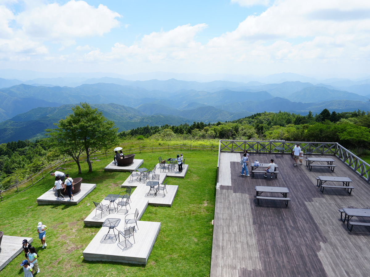

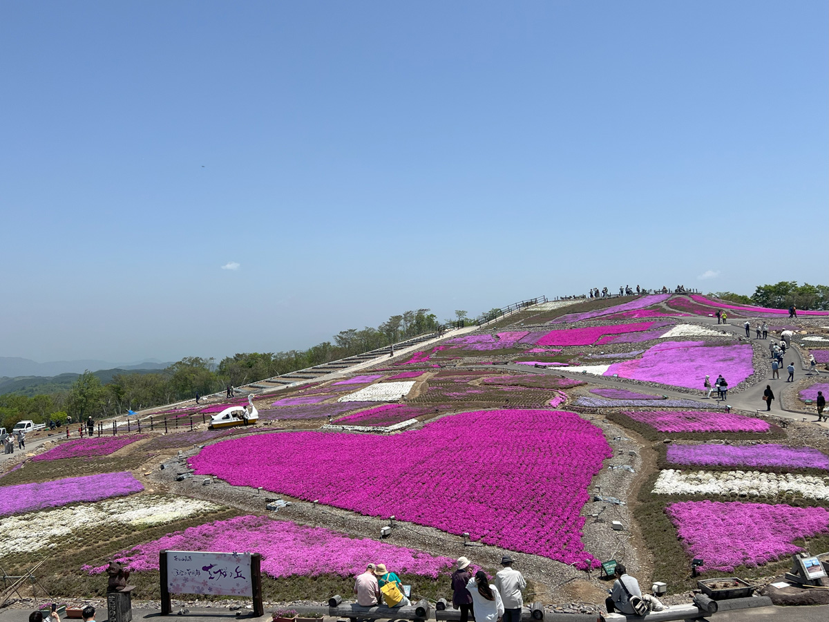
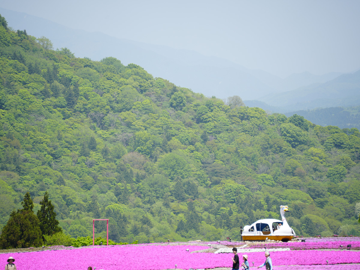
Creeping phlox in the spring, new leaves' green in the summer, fall colors in autumn, and snowscapes in winter
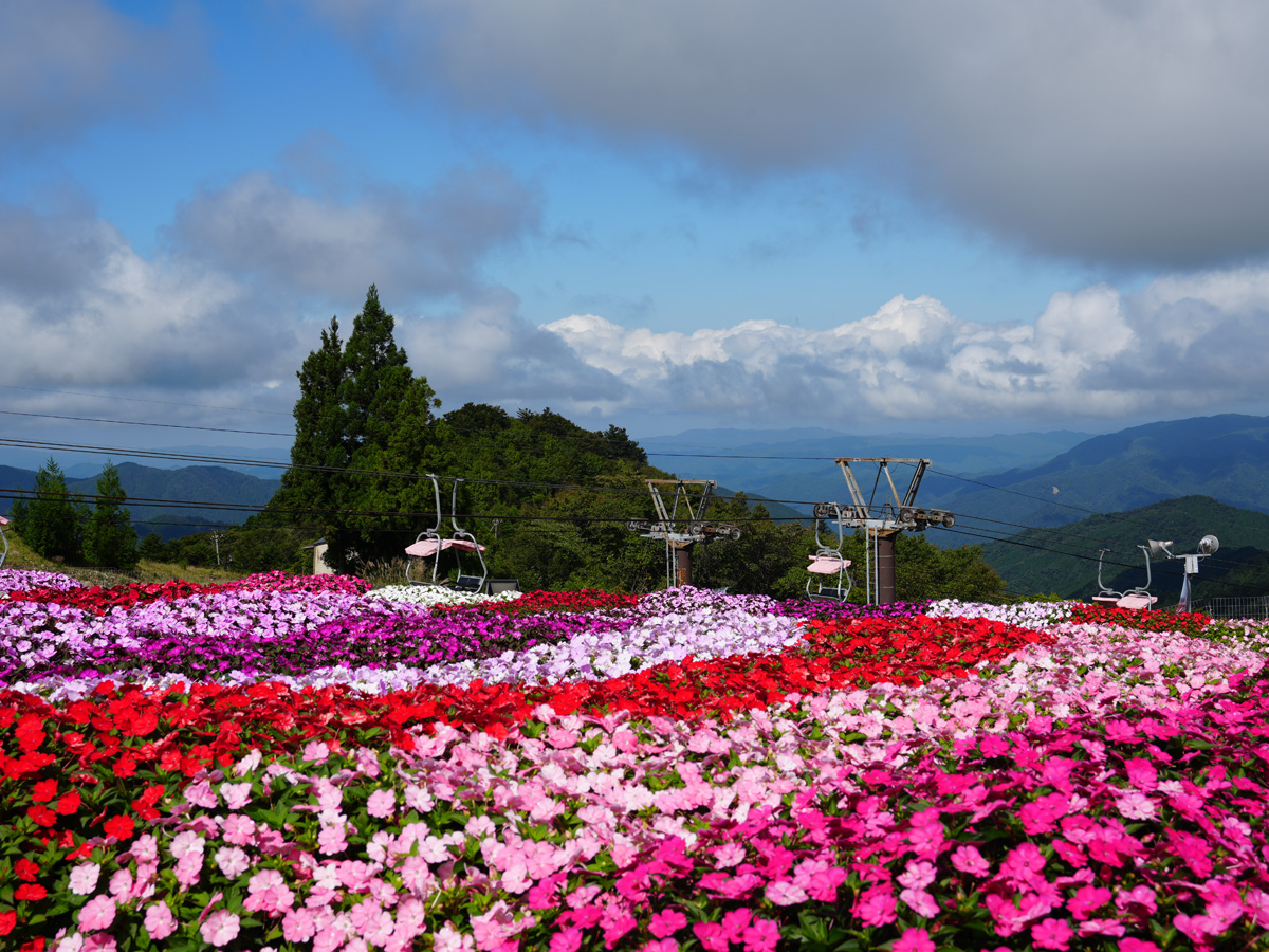
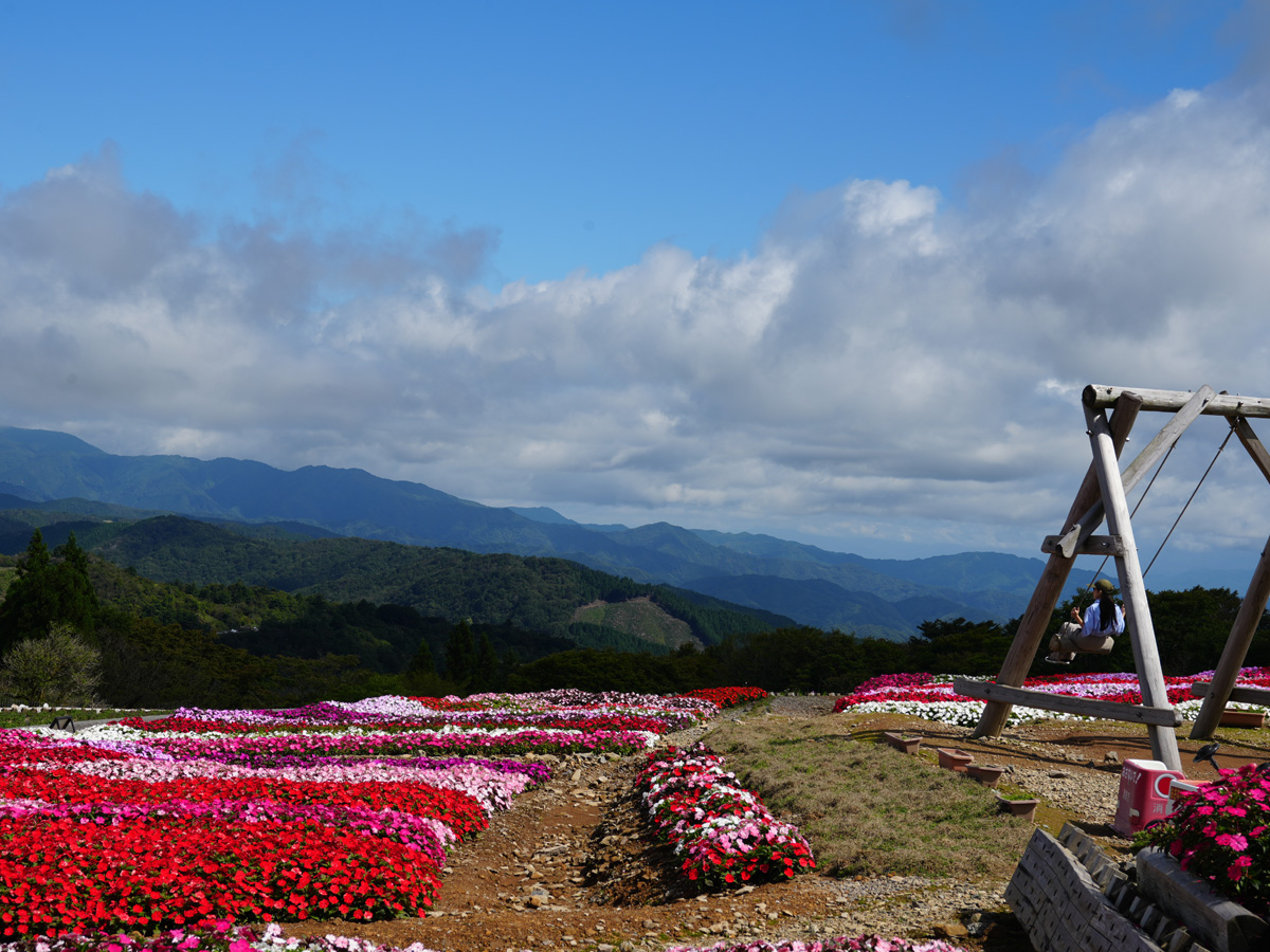
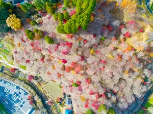
Aichi Prefecture's tallest mountain, Mt. Chausu, lies on the border with Nagano Prefecture and boasts a peak soaring 1,415 meters into the sky. Its mountainous highland is ever so refreshing with idyllic scenery in every direction. At the 1,358-meter-high peak of one of the mountains in the Chausu Range—Mt. Hagitaro—a hill of creeping phlox blooms into a 22-thousand square meter carpet of vivid colors from the beginning of May to mid-June.
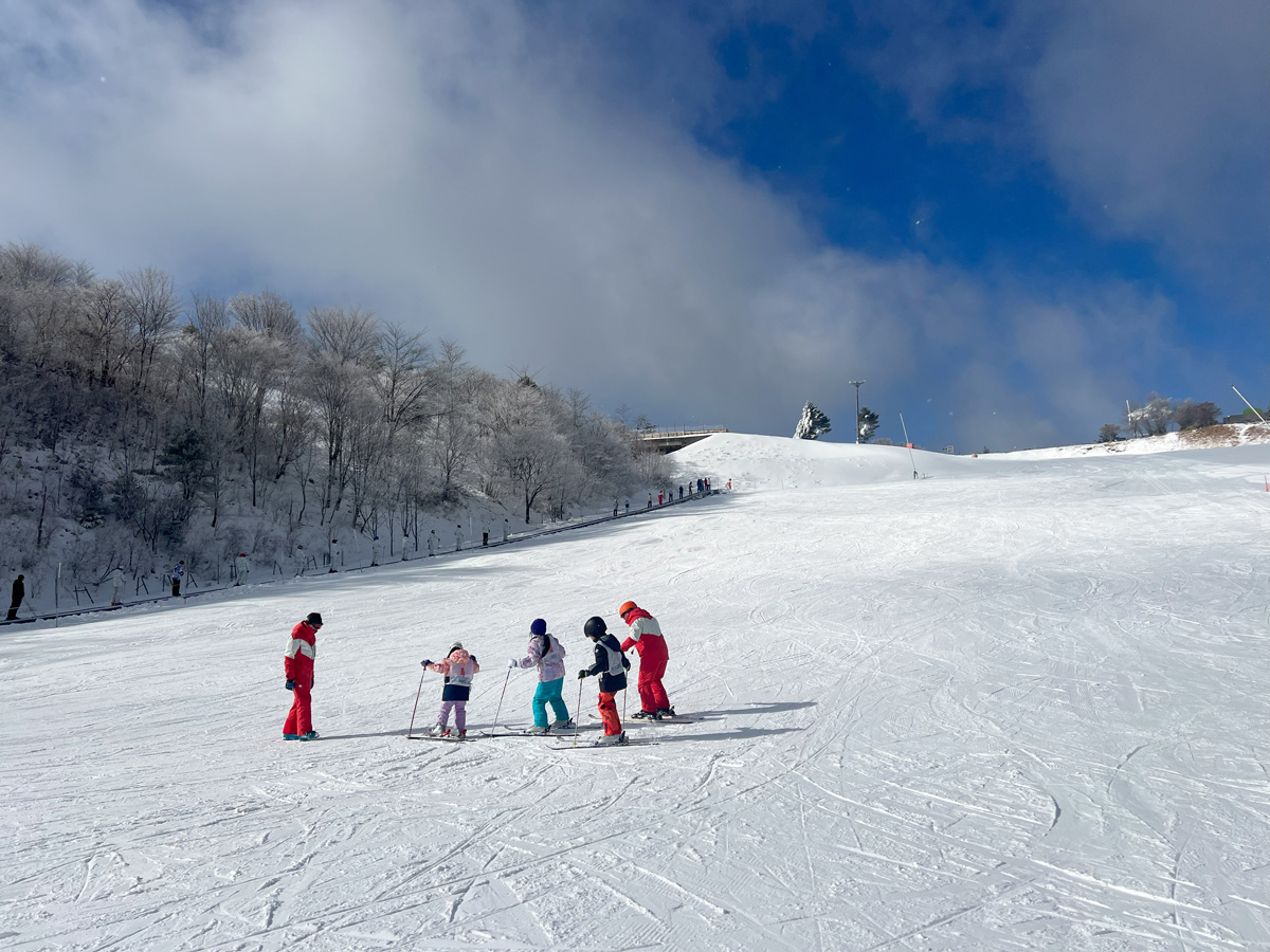
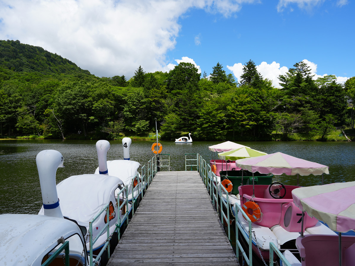
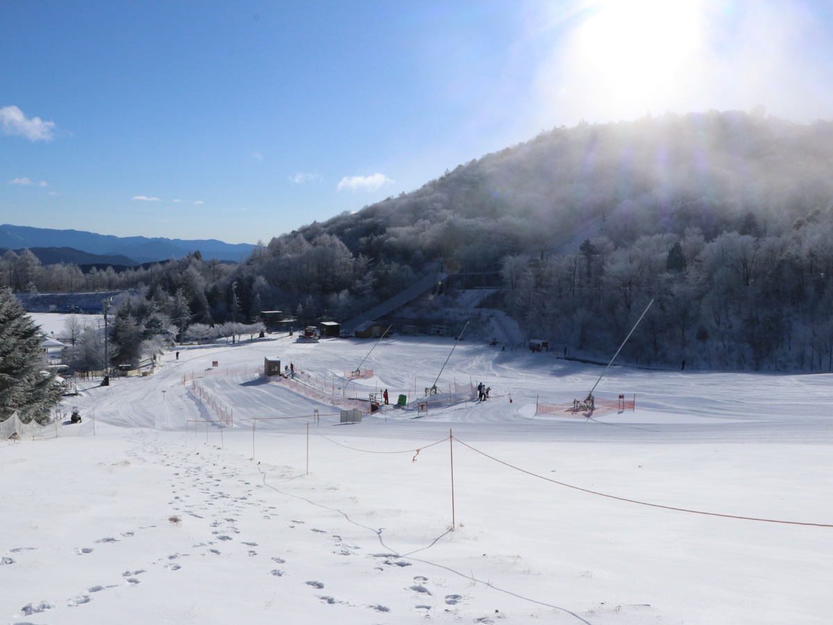
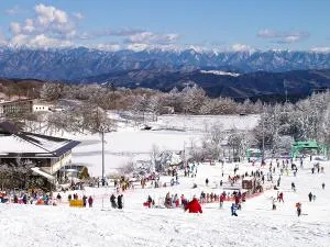
From spring to fall, you can ride go-karts, mountain bike, canoe, and enjoy other outdoor attractions. In winter, Aichi Prefecture's only ski slope opens for skiing and snowboarding fun. Weekends and national holidays offer skiing only, but a sledding hill and spot to play in the snow are also available. Take the conveyor belt walkway up the hill from the sledding hill's bottom for an easy trek back to the top, perfect for families with children as well as beginners.


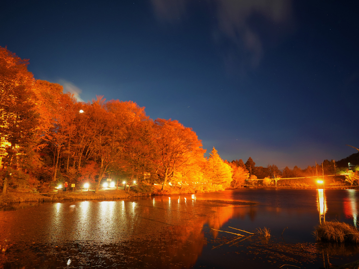
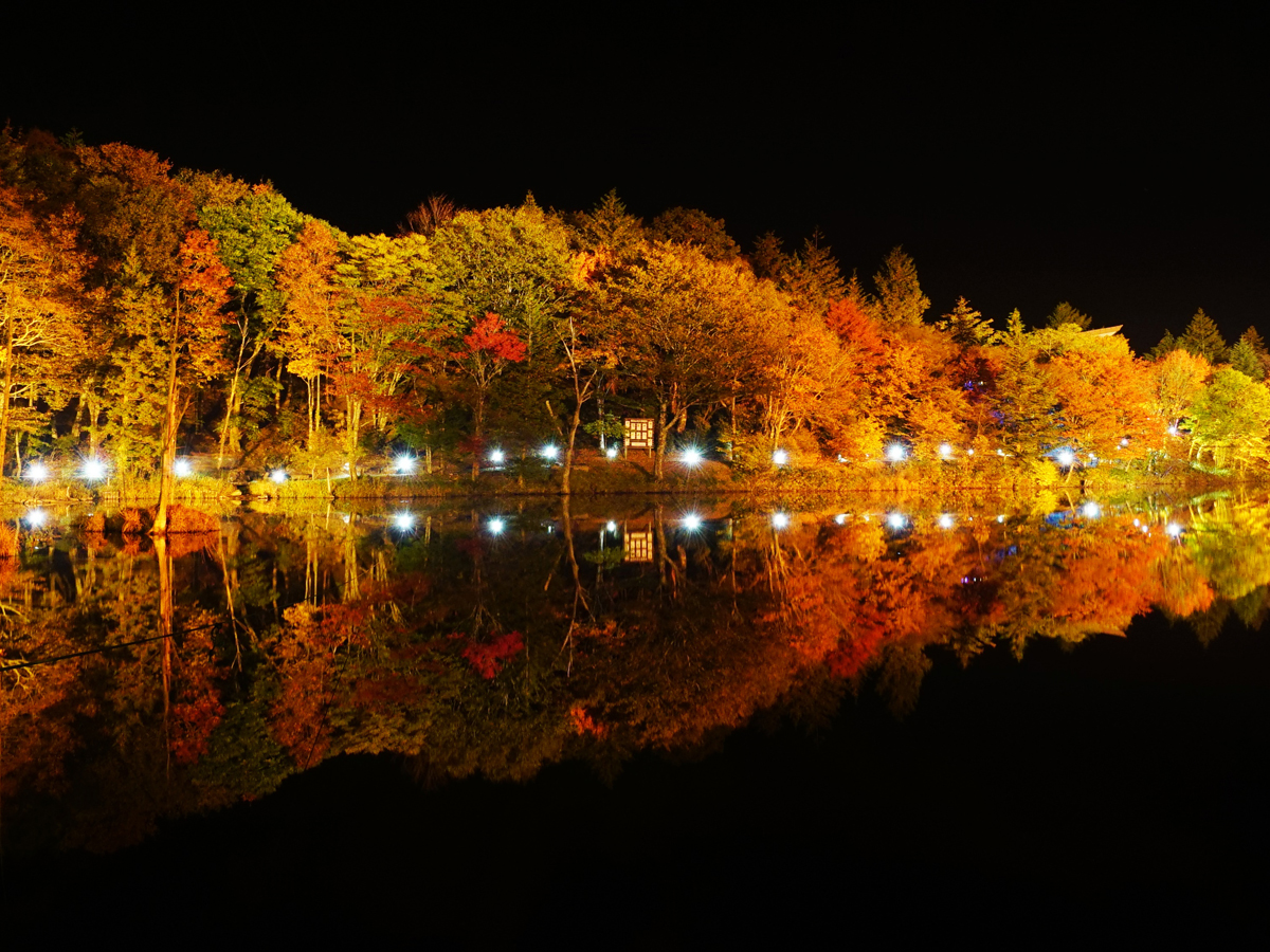
Mt. Chausu Highland Festival held in autumn of 2025!
Aichi Prefecture's autumn hues make their visit first at Mt. Chausu Highland. The Mt. Chausu Highland Autumn Festival acts as the cherry on top of these fabulous fall colors with Sunday, October 12 offering eventgoers potato stew; local, autumn eats at booths; gohei mochi skewered rice cakes covered in a sweet and salty miso sauce; salted, grilled river fish; and soup. A light display is available on weekends and national holidays from Friday, October 11 to Monday, November 3.
Just remember, while the fall colors come early to Mt. Chausu Highland, so does the chilly autumn air. Dress warm before heading out.
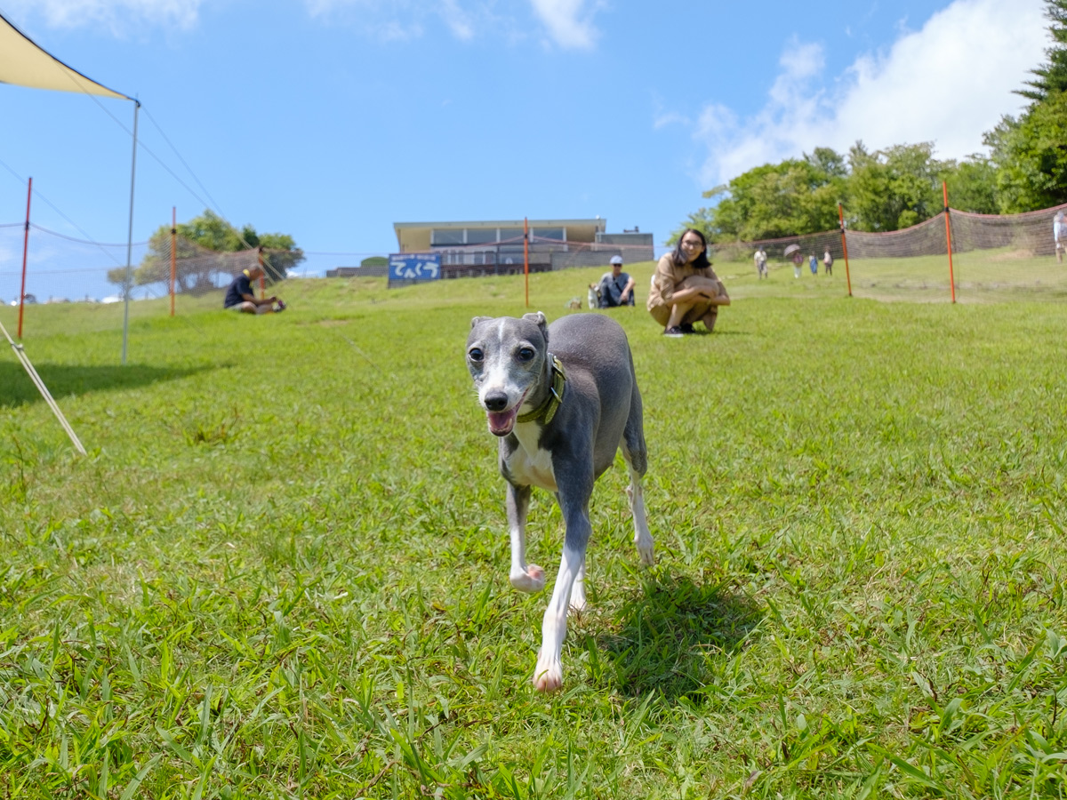
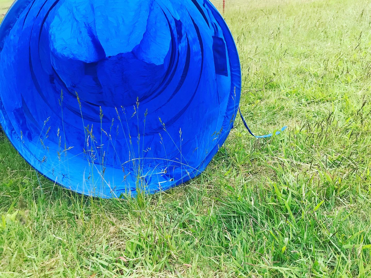
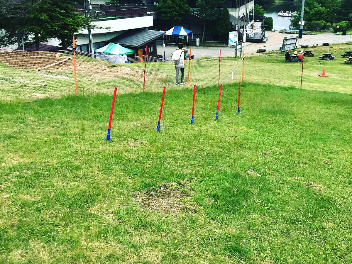
Free dog run
The Mt. Chausu Highland area also offers an expansive dog run equipped with tunnels and the Agility Obstacle Course. The course is perfect for strengthening not only your pup's physical abilities but your communication with one another. Check the official Mt. Chausu Highland website's dog run cautionary notes (External link. Japanese only.) beforehand.
• Availability: 9:00 am–4:30 pm, late Apr–early Nov (changes may occur due to weather)
• Price: Free of charge
• Application: Unnecessary. Use the dog run for a reasonable amount of time and let others in when crowded.
SPOT OVERVIEW


| Location | 〒449-0405 70-185 Goshodaira, Sakauba, Toyone-mura, Kita-Shitara-gun, Aichi |
|---|---|
| Fee | Check the official website for details. |
| Opening days / hours | • Weekdays: 8:30 am–5:00 pm • Weekends and national holidays: 8:00 am–5:00 pm |
| Parking | Available, free of charge (1,000 spaces for standard-size vehicles and 20 spaces for buses) Notes: • Becomes pay parking during the creeping phlox season (JPY 800/standard-sized vehicle, JPY 1,000/mini bus, and JPY 2,000/medium- to large-sized buses) • Prices are subject to change. Check the official site, etc. for the most up-to-date information. |
| Restrooms | Available |
| Holidays | Thu (always open during event periods) |
| Phone number | 0536-87-2345 |
Note: This page may not be current due to update time differences between site databases.
Should accuracy be critical, please verify this information using a direct source, whenever possible.
Barrier-free information


ACCESS
-

- Access by public transport
- From Toyohashi Station, take the JR Iida Line. Get off at Toei station and take the shuttle bus.
Notes:
• The shuttle bus requires prior reservation. The bus has a capacity of eight passengers, taken on a first-come, first-served basis.
-

- Access by car
- • Scenic mountain route from Nagoya (approx. 80 km): From the Tomei Expressway, head south to nearby Nisshin Junction, change to the Nagoya-Seto Expressway, which turn into Sanage Green Road. Exit at Chikaraishi Interchange, turning left. Head east down Route 153 until the crossing with Route 257 and turn right, heading south for 1.1 km, and turn left onto Route 80. Head east for 8.8 km until the intersection with Route 507 (Chausuyamakougen Road), where you will turn right at the intersection and then left, heading east. Continue for 12.2 km and turn right at the crossing with Route 506. After the lake, take a left and then one more left.
• Comfortable route with less mountain roads from Nagoya (approx. 140 km): From the Tomei Expressway, head south to Toyota Junction and change to the Isewangan Expressway, which turns into the Shin-Tomei Expressway after Toyota-Higashi Junction. At Hamamatsu-Inasa Junction, change to the San-Ennanshin Expressway. Upon exiting at Horaikyo Interchange, head north on Route 151 for approx. 36 km. Turn left to enter Route 506 and head northwest for 5.5 km.
• From other locations, head to the Hamamatsu-Inasa Junction on the Shin-Tomei Expressway and proceed north on the San-Ennanshin Expressway. Exit at Horaikyo Interchange and head north on Route 151 for approx. 36 km. Turn left to enter Route 506 and head northwest for 5.5 km.
Share spot information with a smartphone

RECOMMENDATION COURSE RELATED TO THIS SPOT
- The Enchanting World of 'The Tale of ...
- A drive to Aichi's ski resort
